
The first time I hiked Black Butte, I thought I actually might die.
It was mid-day, near the end of summer, and it was HOT. My husband and I were headed home from a weekend trip to Sunriver, Oregon, and as we neared the butte we made a last-minute decision to make the hike.
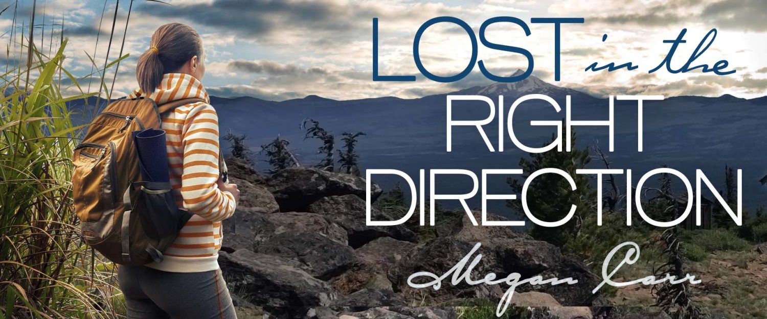
In my novel, “Lost in the Right Direction”, the female main character, Georgia, decides to hike the butte, and discovers immediately that the trail is “…steep. Very steep.”
Her sentiment is absolutely true.
The 1.9 mile (out and back) trail consists of two long switchbacks, followed by a long, half-circle that winds around the top of the butte before reaching the 6,436-foot summit.
And from step #1 on the trail, every step is at an incline. In fact, you’ll climb 1600 feet in elevation in just under two miles.
By the time you reach the end of the switchbacks, you’ll probably start to re-think how badly you really want to reach the top. But don’t give up. The summit is 100% worth it, and besides, you can’t let the fair amount of trail runners leave you in the dust (and it is a very dusty trail in the summer).
After you come out of the tree line, you’ll start to see some beautiful vistas to the south and southwest. Black Butte ranch, and endless stretches of pine tree forests provide amazing photo opportunities. And don’t forget the Three Sisters mountains in the distance.
 Depending on the time of year, wildflowers could be in full bloom. The last time I made the hike, it was around July 4th, and the different types of flowers on display were too numerous to count. The wild lilies are particularly pretty, and they smell incredible, so do take some time to admire them.
As you round the side of the butte, you will begin to see the tip of the 35-foot fire lookout tower, which, I won’t lie, does provide some much-needed incentive to keep hiking and reach the top.
 Coming around the final curve of the butte, you’ll see the trail lengthen out and head up to the summit. The views from this side of the mountain are really astonishing, especially with the contrast of the scar from the 2009 fire, against the greenery and flowers. Don’t forget your camera here.
The top of Black Butte is pretty flat, and relatively wide. Once you’re there, the first thing you’ll probably notice is the fire lookout tower off to the left. You can walk up to it, although don’t expect to climb to the top (at least in the summer). It’s an active lookout tower, and there’s a sign across the steps that politely asks you not to proceed any farther.
From there, head back the way you came, and keep walking to the D-6 cupola building that’s toward the north. The historic cupola was built in 1923, or 1924, and used to serve as a fire lookout. It’s boarded up now, and has taken a good amount of abuse from the elements, but it’s still a pretty neat piece of history. Note the copper cables coming off the sides that ground it, as well as the frayed pieces standing at attention off the top and sides. No doubt this structure has seen its fair share of lighting strikes.
 Around the other side of the cupola, and down toward the edge of the far side of the butte, you’ll see the spot where the now infamous forestry service cabin used to stand. The cabin is the place where most of the novel takes place. The male main character, Ben, lives in the cabin during the week as he mans the fire lookout tower, and it’s the place where Georgia first runs into trouble.
The cabin was built in 1979 to serve as living quarters for the fire lookout staff ¹, and from my understanding it was a one-room, simple home. The last time I made the hike, I (regrettably) failed to take photographs of it, but here is an images of what it used to look like.

Sadly, in 2016, the Forest Service burned the cabin down as it had fallen into disrepair and was subsequently condemned. When I began writing the story of Ben and Georgia, I had no idea the Forest Service planned to burn the cabin and was shocked to see a photograph on line one day of the cabin in flames.

An article about the burning ran in local newspapers, and you can read more about it, and the history of the cabin, here. While I was certainly disheartened to learn the cabin burned before I could finish writing the book, it did end up providing an idea for the plot, so…stay tuned.
The remnants of the cabin are still present at the top of the butte, and you can see where the building once stood.

While it’s sad the structure no longer exists, it’s my understanding the Forest Service plans to rehabilitate the area to serve as an observation point sometime in the future.
So take some time at the top of the summit and enjoy the beautiful scenery — and history — that Central Oregon has to offer. Who knows? You might find yourself Lost in the Right Direction, too.
What an interesting story about Black Butte, it’s history and the beautiful pictures. I love Oregon… grew up in No California. I now live in Colorado Springs, near the Manitou Incline. Your hike reminds me of the Incline. It’s a hiking trail on the remains of a former narrow gauge railway. Just the ties remain up the side of the mountain. The grade is an average of 45% and as steep as 68% in places. It gains over 2,000 ft of elevation in less than 1 mile. It’s length is .88 miles, so quite a bit shorter than your climb. It starts at 6,500 ft and rises to 8,590 feet.
P.S. There are black bears in the area!
Manitou Incline sounds amazing! The altitude might take some getting used to, but I’d like to try it! (Minus the bears).
Then…if you want more altitude, you’re right next to Pikes Peak! It’s only 14,000. I’ve been up there ONCE in a car. Didn’t feel so good up there and have no desire to go back. Amazing views though. 😉